


Le Finiels

richardsimopons
User
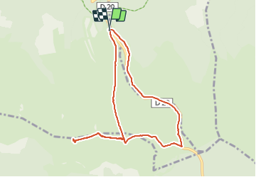

Length
9 km

Max alt
1699 m

Uphill gradient
246 m
Km-Effort
12.3 km

Min alt
1457 m

Downhill gradient
251 m
Boucle
Yes
Creation date :
2021-09-07 07:02:24.0
Updated on :
2021-09-07 09:37:03.931
2h33
Difficulty : Difficult

FREE GPS app for hiking
 SityTrail
IGN / Geographical institutes
SityTrail Plus
The world is yours!
About
Trail Walking of 9 km to be discovered at Occitania, Lozère, Mont Lozère et Goulet. This trail is proposed by richardsimopons.
Description
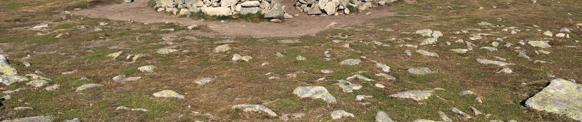
Du parking des chômeurs jusqu’au sommet (1699m), retour par le col(G7): agréable parcours.
Photos


Positioning
Country:
France
Region :
Occitania
Department/Province :
Lozère
Municipality :
Mont Lozère et Goulet
Location:
Mas-d'Orcières
Start:(Dec)
Start:(UTM)
559505 ; 4921600 (31T) N.
Comments